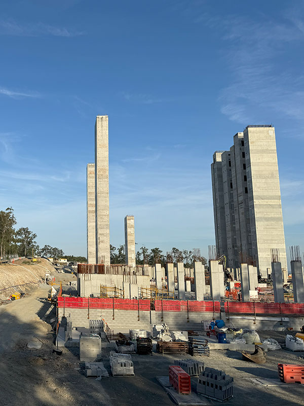
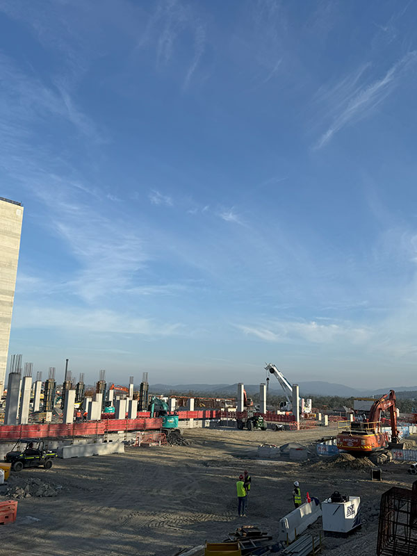
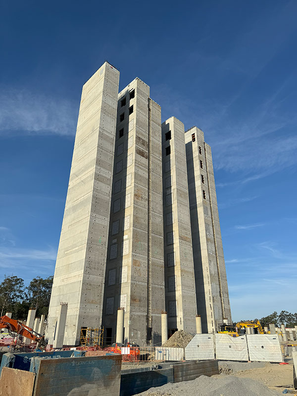
Aerial high resolution photography, video capture, 2D orthomosaic mapping and 3D model capture
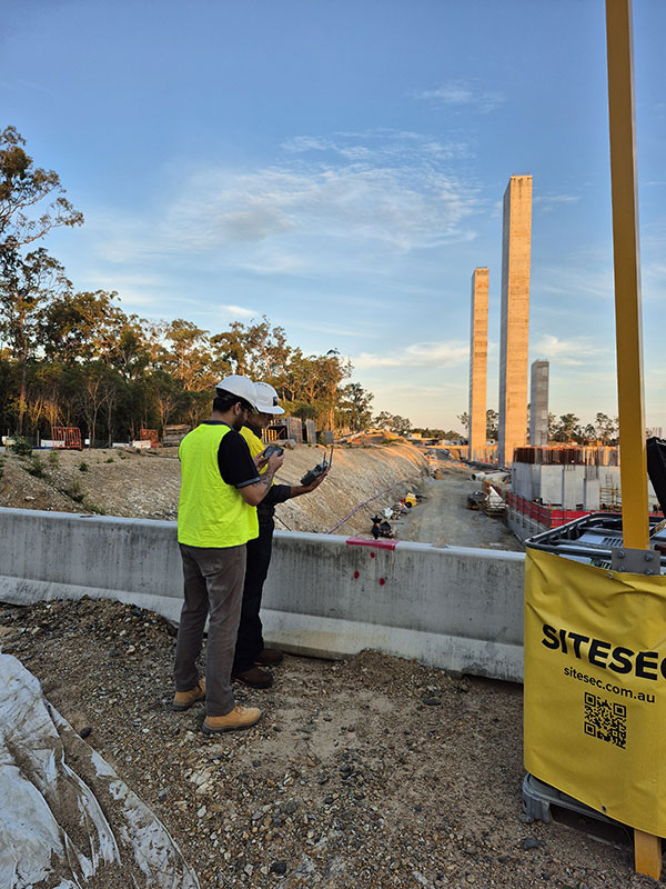
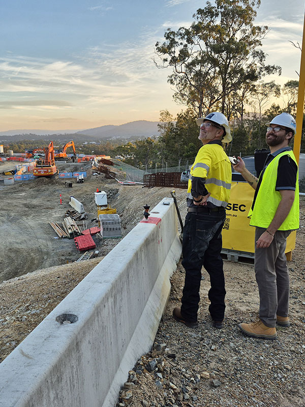
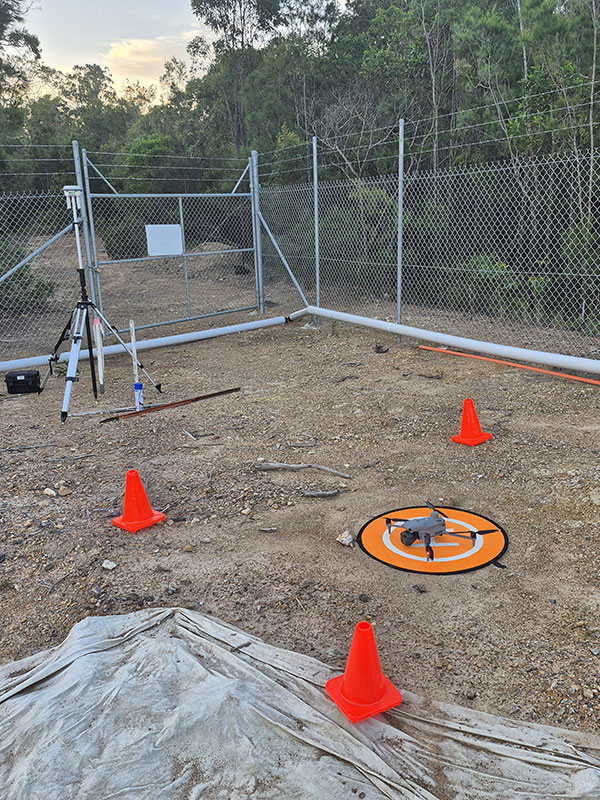
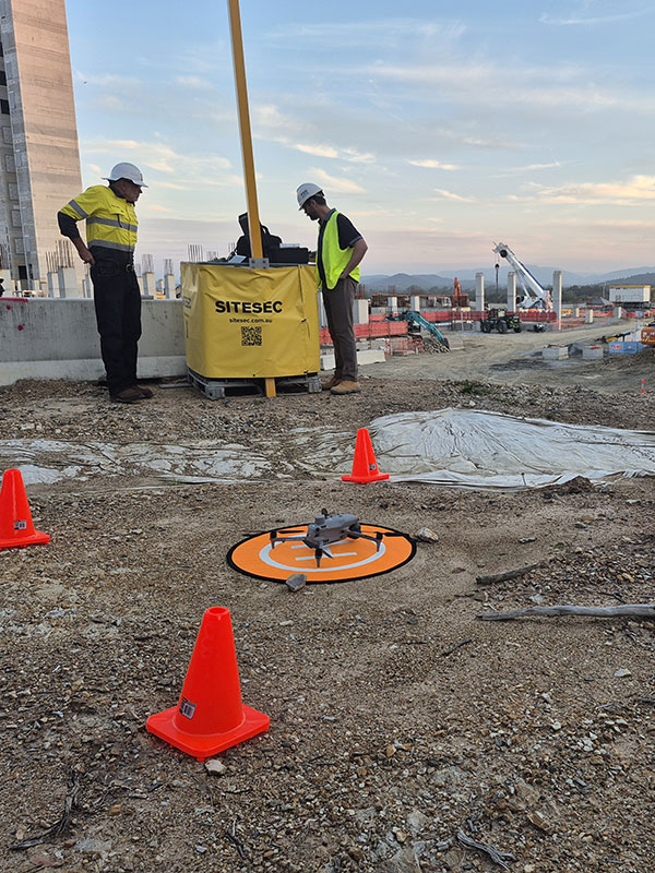
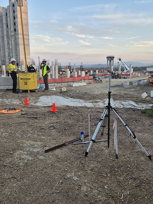
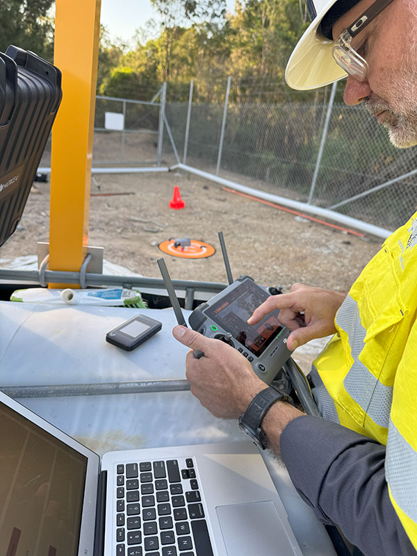
PCH Pty Ltd use our in-house staff, licensed by the Civil Aviation Safety Authority ( CASA ) for operation of remotely piloted multi rotor equipment up to 25kg. Each project is assessed against a stringent safety system and only progresses following Chief Pilot Approval.
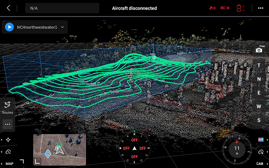
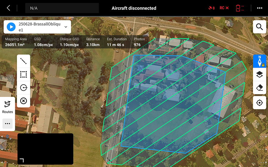
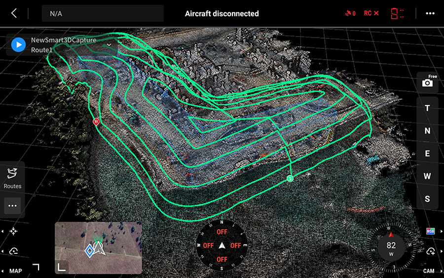
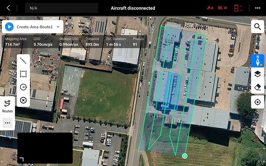
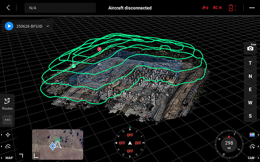
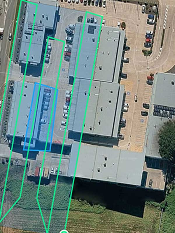
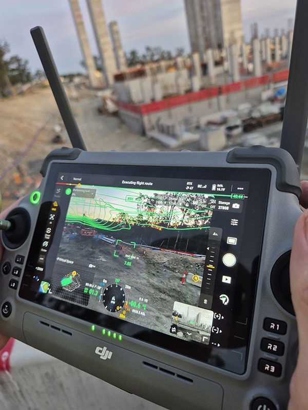
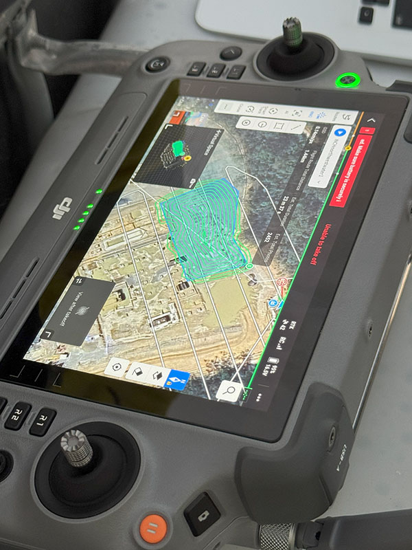
Our up to date equipment is capable of aerial high resolution photography, video capture, 2D orthomosaic mapping and 3D model capture. Focus is on providing detailed and highly accurate data for measurement of distance , volume or surface conditions. Outputs are georeferenced to Global Position or your site coordinate system to high level absolute accuracy. Data is processed in house via cutting edge software to allow client collaboration. Maps or digital twin models are then used for measurement or design purposes.
Collected data can be leveraged within our current CAD or Revit capabilities to provide positive real world outcomes assisting in detailed project design.
Using our construction experience and design knowledge, detailed and accurate imagery is captured quickly to allow your project to be measured for condition and allow design or site works to progress. Repeatable flight paths can be utilised to provide your project team with site progress or plant and equipment layouts.